Tailored 2D and 3D Drafting Solutions for Surveyors and Construction Experts.

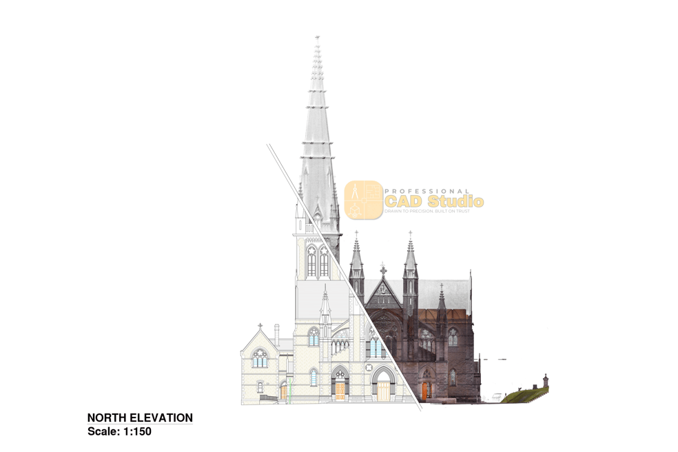
Convert raw point cloud data (from laser scanners or Matterport) into precise 2D floor plans, elevations, and section views. Ideal for renovations, as-built documentation, and permit drawings.
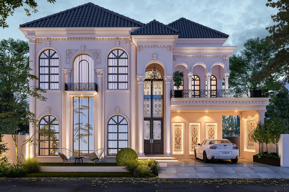
Accurate 3D architectural models created from floor plans and Elevation views. Perfect for visualizations, BIM coordination, or design proposals.
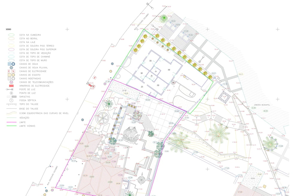
Topographic plans, boundary maps, and site layouts drafted from survey sketches or CSV/RAW field data. Fully layered and geo-referenced if needed

Convert raw point cloud data (from laser scanners or Matterport) into precise 2D floor plans, elevations, and section views. Ideal for renovations, as-built documentation, and permit drawings.
Accurate 3D architectural models created from floor plans and Elevation views. Perfect for visualizations, BIM coordination, or design proposals.


Topographic plans, boundary maps, and site layouts drafted from survey sketches or CSV/RAW field data. Fully layered and geo-referenced if needed

Pro CAD Studio
Typically replies within minutes
I want to know about
WhatsApp Us
🟢 Online | Privacy policy
WhatsApp us