In the evolving world of architectural design and construction, point cloud technology has transformed how professionals capture and document building conditions. At Pro CAD Studio, we specialize in converting raw 3D scan data into accurate 2D floor plans, serving architects, surveyors, and real estate professionals who demand both speed and precision.
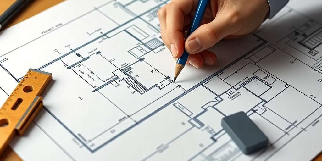
In this blog, we walk you through our process of transforming point cloud data into precise architectural drawings, and why it’s a smarter, faster solution compared to traditional methods.
What Is a Point Cloud?
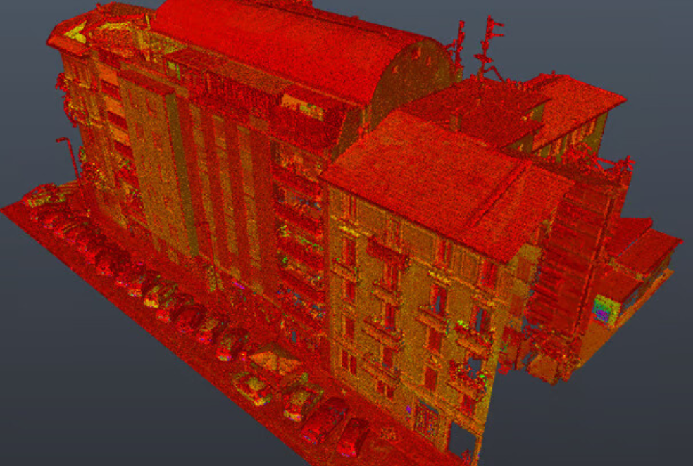
A point cloud is a set of data points in space, typically produced by 3D laser scanners or LiDAR systems. Each point has X, Y, and Z coordinates and collectively they represent the surface geometry of objects or environments—walls, floors, ceilings, furniture, and even landscape features.
Modern tools like Matterport, Leica, and FARO scanners capture millions of such data points with incredible accuracy, enabling professionals to measure and model buildings as they exist today.
Why Point Cloud to CAD Conversion Matters
While point clouds are rich in data, they are not easily readable or usable in traditional design and drafting software. That’s where we step in.
At Pro CAD Studio, we use industry-leading tools such as:
- Autodesk Recap Pro (for cleaning and preparing point clouds)
- AutoCAD (for creating accurate 2D floor plans, elevations, and sections)
- SketchUp or Revit (for 3D modeling if required)
The output? Fully editable, scalable, and dimensionally accurate drawings.
Our Step-by-Step Workflow
- Data Preparation & Cleanup
Once we receive the .rcs, .e57, or .las file from the client, we load it into Recap Pro. We clean noise, remove irrelevant points, and crop to focus on the area of interest.
- Alignment & Layering
We align the point cloud properly with a Universal Coordinate System (UCS) and determine levels/floors for multi-story buildings. This helps in layering the floor plans efficiently.
- Tracing & Drafting
Using AutoCAD, we begin tracing walls, columns, doors, windows, and fixtures directly over the point cloud. We ensure:
- Wall thickness is preserved
- Structural features are dimensioned
- Annotations and symbols meet architectural standards
- Quality Control
Every drawing goes through a two-step internal review for dimensional accuracy, labeling, and compliance with local drafting codes.
- Delivery
We deliver the drawings in DWG, PDF, or any preferred format. We also offer layered files for easier future editing.
Real-World Applications
Our floor plan conversions are used for:
- As-built documentation
- Building renovations and extensions
- Facility management
- Permitting and zoning applications
- Historical building preservation
🧱 Example: We recently completed a project for St. Eunan’s Cathedral, where we used point cloud data to draft all four accurate exterior elevations.
Benefits of Working with Pro CAD Studio
✅ Accuracy: Up to 99% dimensional accuracy using point cloud references
✅ Speed: Floor plans delivered in as little as 2–3 days
✅ Flexibility: Compatible with multiple file formats
✅ Customization: Title blocks, symbols, and layering can match your standards
✅ Global Reach: We’ve worked with clients in the USA, UK, Netherlands, Italy, and Portugal
Frequently Asked Questions
Q1: What file types do you accept for point cloud data?
We accept .rcs, .e57, .las, .pts, and .xyz formats.
Q2: Can you handle multi-story buildings?
Yes, we routinely work with multi-level structures and can deliver separate floor plans or a composite set.
Q3: Do you offer 3D modeling from point clouds?
Absolutely. In addition to 2D drafting, we offer 3D modeling and photorealistic rendering services.
Ready to Get Started?
Whether you’re an architect, surveyor, or real estate professional, Pro CAD Studio can help you turn your scans into actionable design files. Contact us today to get a free quote or view more projects in our portfolio.